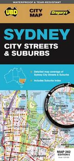

Sheet map, folded
Publication Date: 01/04/2016
City Map Sheet map Sydney city & surrounding suburbs at a scale of 1: 25 000 with coverage along the coast from Dee Why in the north to Malabar and inland from Gordon in the north to Kogarah in the south, North Head in the east & west of the city to Haberfield & Russell Lea Sydney suburban coverage at a scale of 1 : 110 000 with coverage from Gosford in the north, Tahmoor in the south and Springwood in the west & along the coast from Umina Beach in the north to Coalcliff in the south. Also incudes and index to the suburbs & localities
- ISBN:
- 9780731930524
- 9780731930524
- Category:
- Street maps & city plans
- Format:
- Sheet map, folded
- Publication Date:
- 01-04-2016
- Publisher:
- Universal Publishers
- Edition:
- 6th Edition
- Dimensions (mm):
- 690x1000mm
Click 'Notify Me' to get an email alert when this item becomes available
Great!
Click on Save to My Library / Lists
Click on Save to My Library / Lists
Select the List you'd like to categorise as, or add your own
Here you can mark if you have read this book, reading it or want to read
Awesome! You added your first item into your Library
Great! The fun begins.
Click on My Library / My Lists and I will take you there
Click on My Library / My Lists and I will take you there
Reviews
Be the first to review Sydney City Streets & Suburbs Map 262 6th ed (waterproof).


Share This Book: